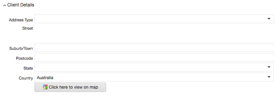
Step 1 above means that it is very important to make sure the Client address is up to date before creating a new service.
Always check the address is correct first.
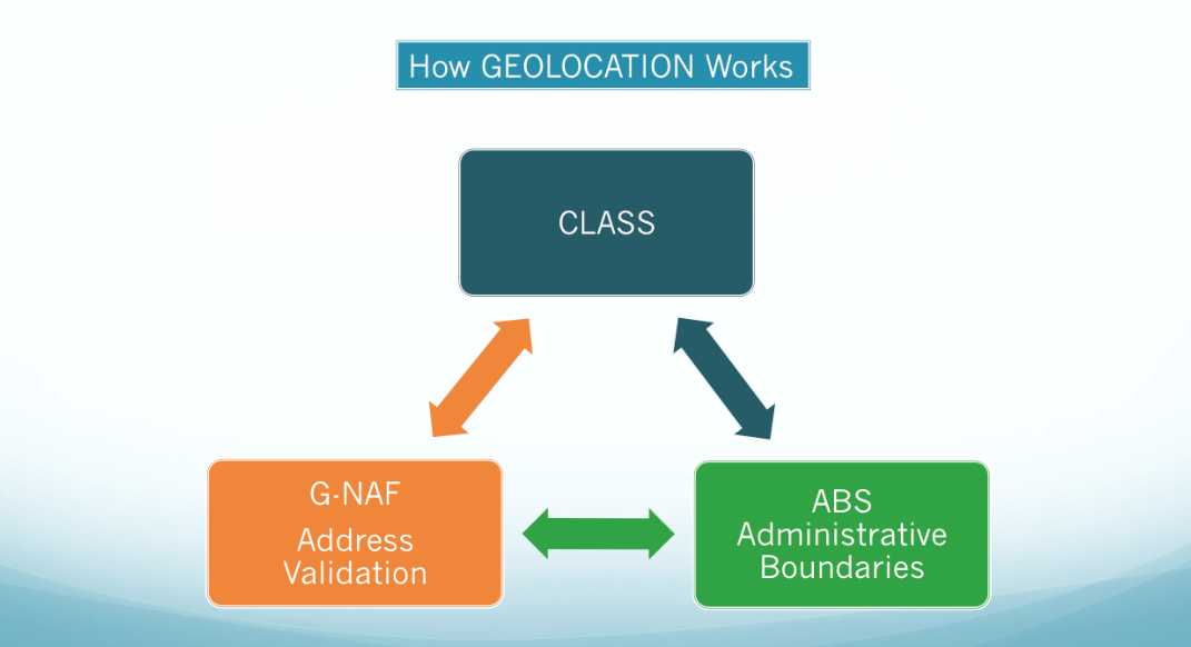
In the process of creating a client, an address is added on the client page.
Then, once a service is added to this client, the address entered in the client details section interacts with the Geocoded National Address File (G-NAF) and allows the determination of the current mesh block (the smallest geographical area defined by the ABS) against this service.
This mesh block information serves as a building block to establish all statistical areas in the Australian Statistical Geography Standard, as well as suburb names and postcodes. The following administrative areas, created from mesh blocks, can be found in these CLASS reports: